Greenwich River Front
Photographs showing how Greenwich along the River Thames looked between 1980 and 2000
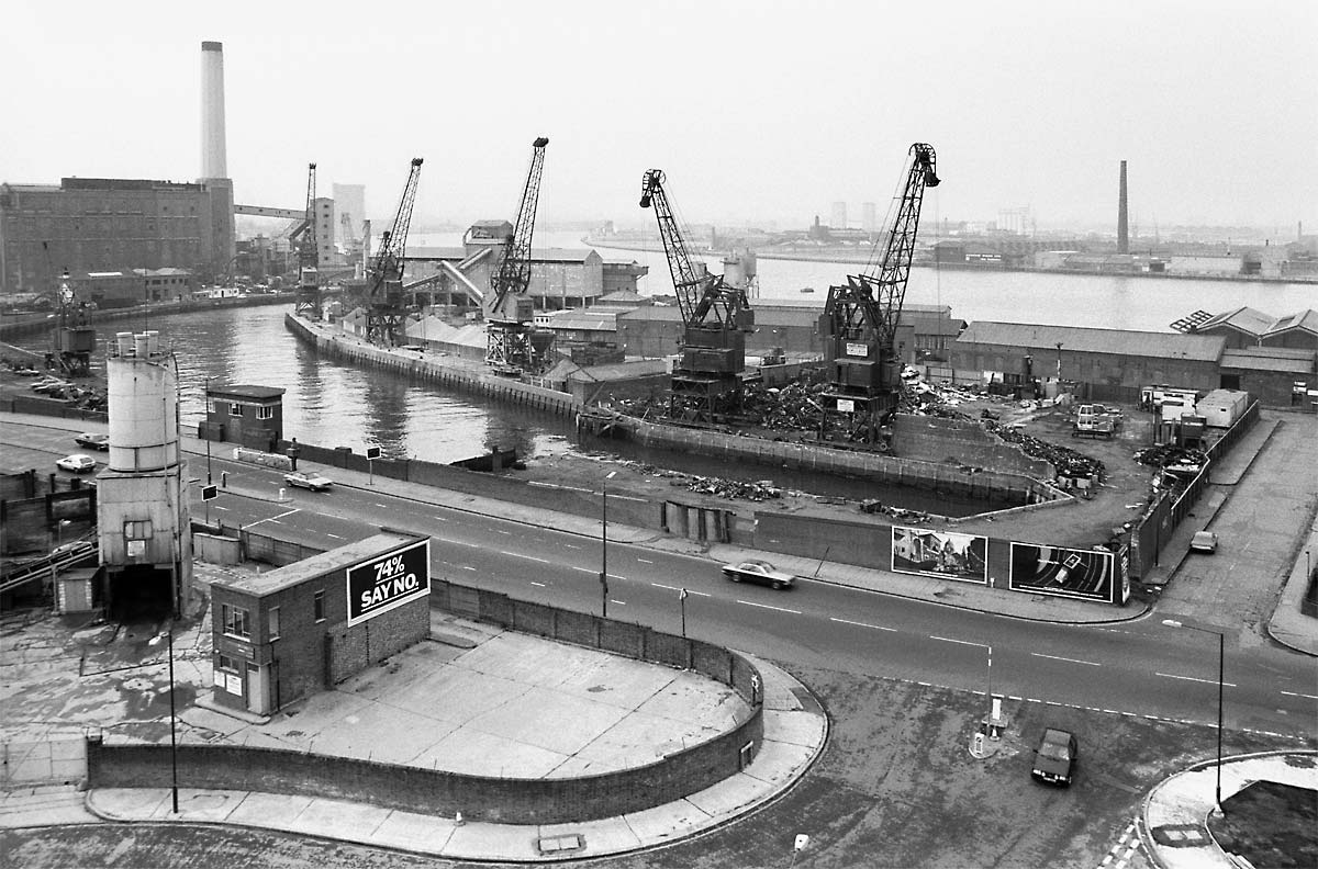
01_Creek Rd & Granophast Wharf
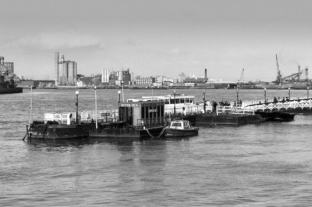
02_Greenwich Pier
03_Docklands across Thames Street

04_Deptford Power Station and Barge
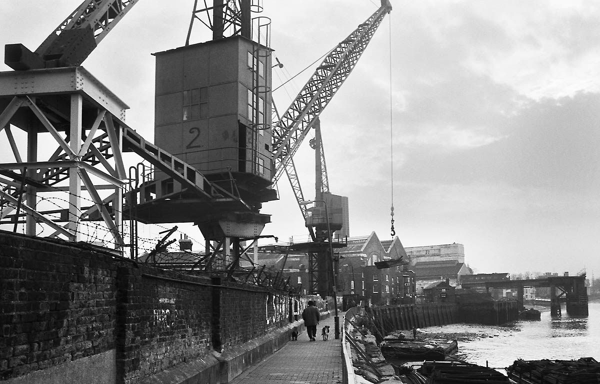
05_Towards Ballast Quay
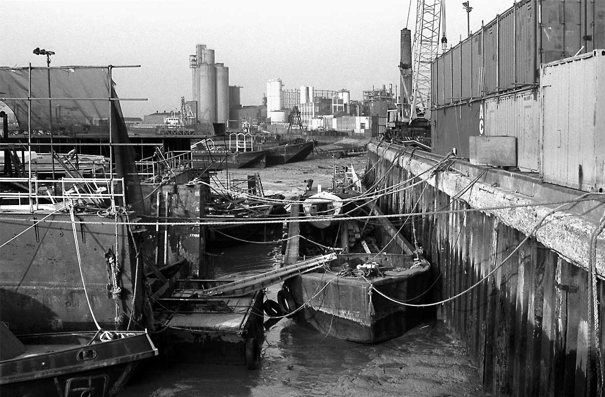
06_Towards Tunnel Refineries
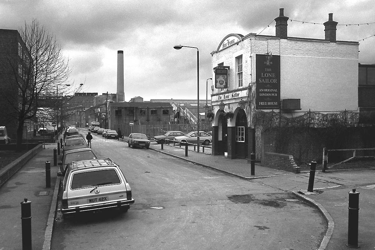
07_West along Thames Street

08_Lovells Wharf
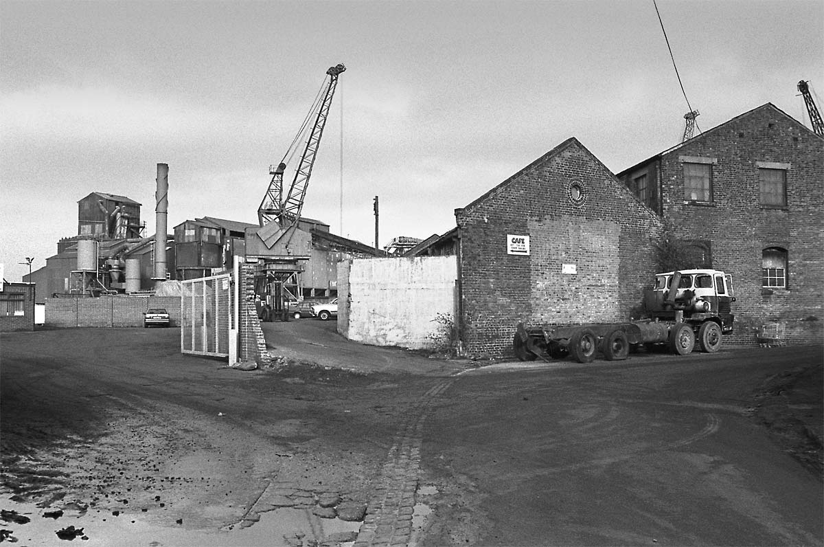
09_Stowage
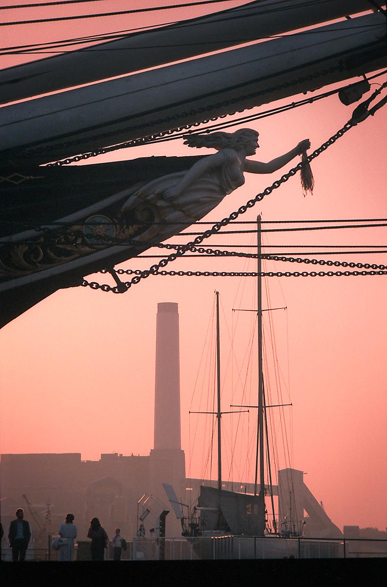
10_Gypsy Moth 4th in Dry Dock

11_Granophast Wharf
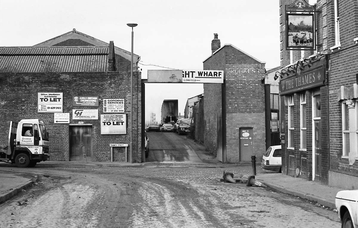
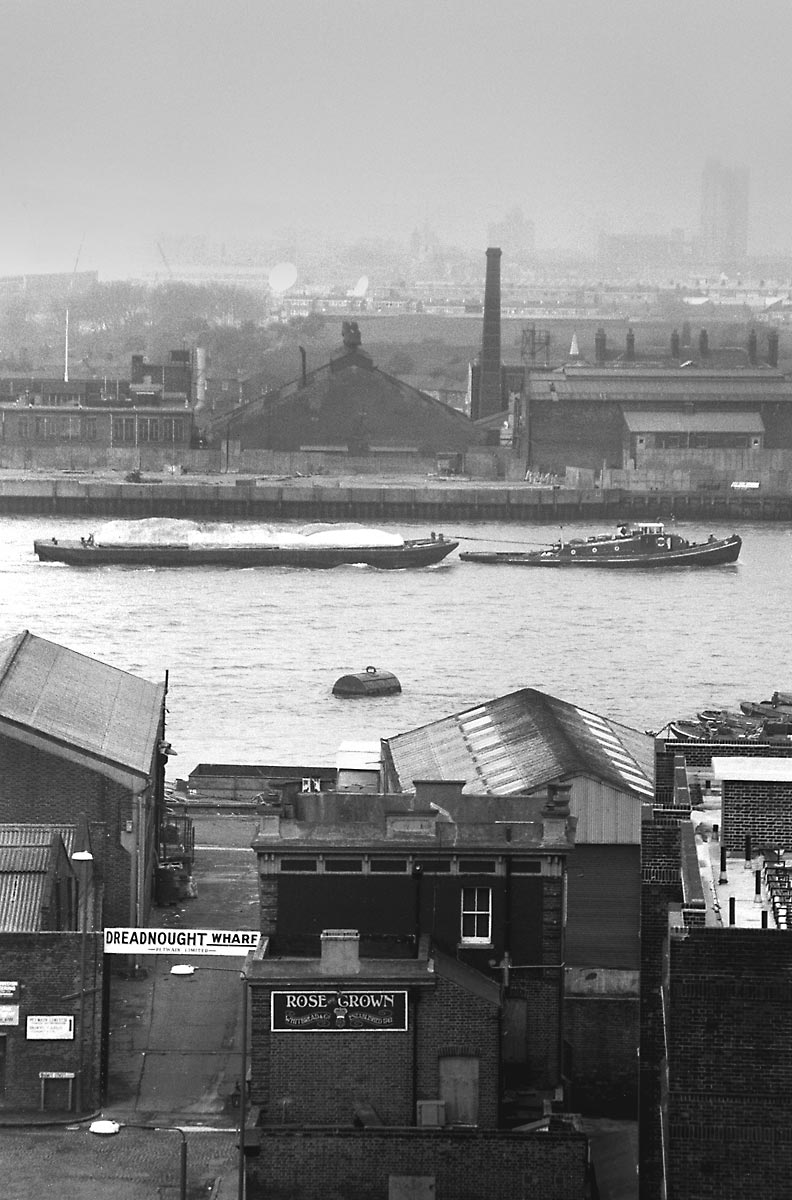
12_Dreadnaught Wharf on Thames Street
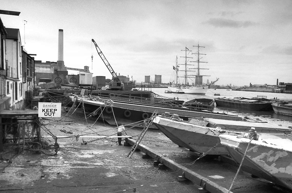
13_Barge Repair Yard

14_Top of Norway Street
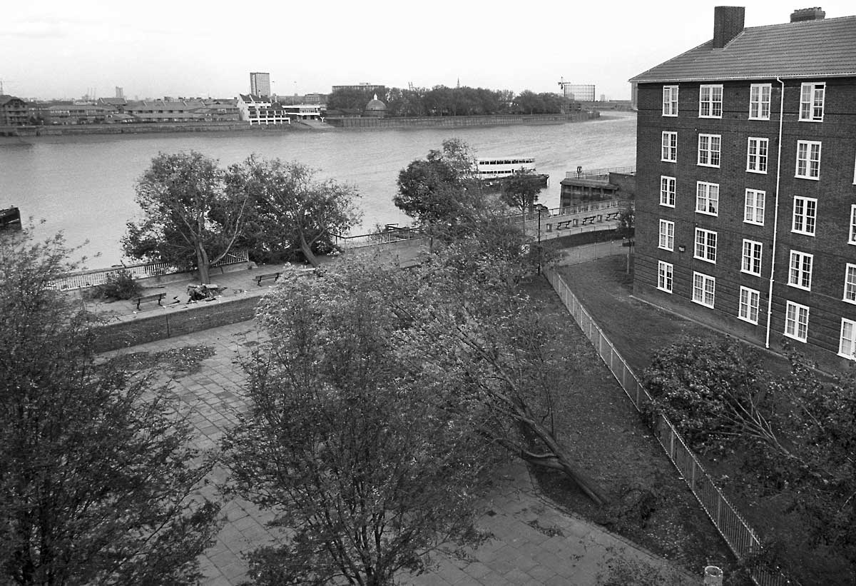
15_Devastation after 1987 Gale
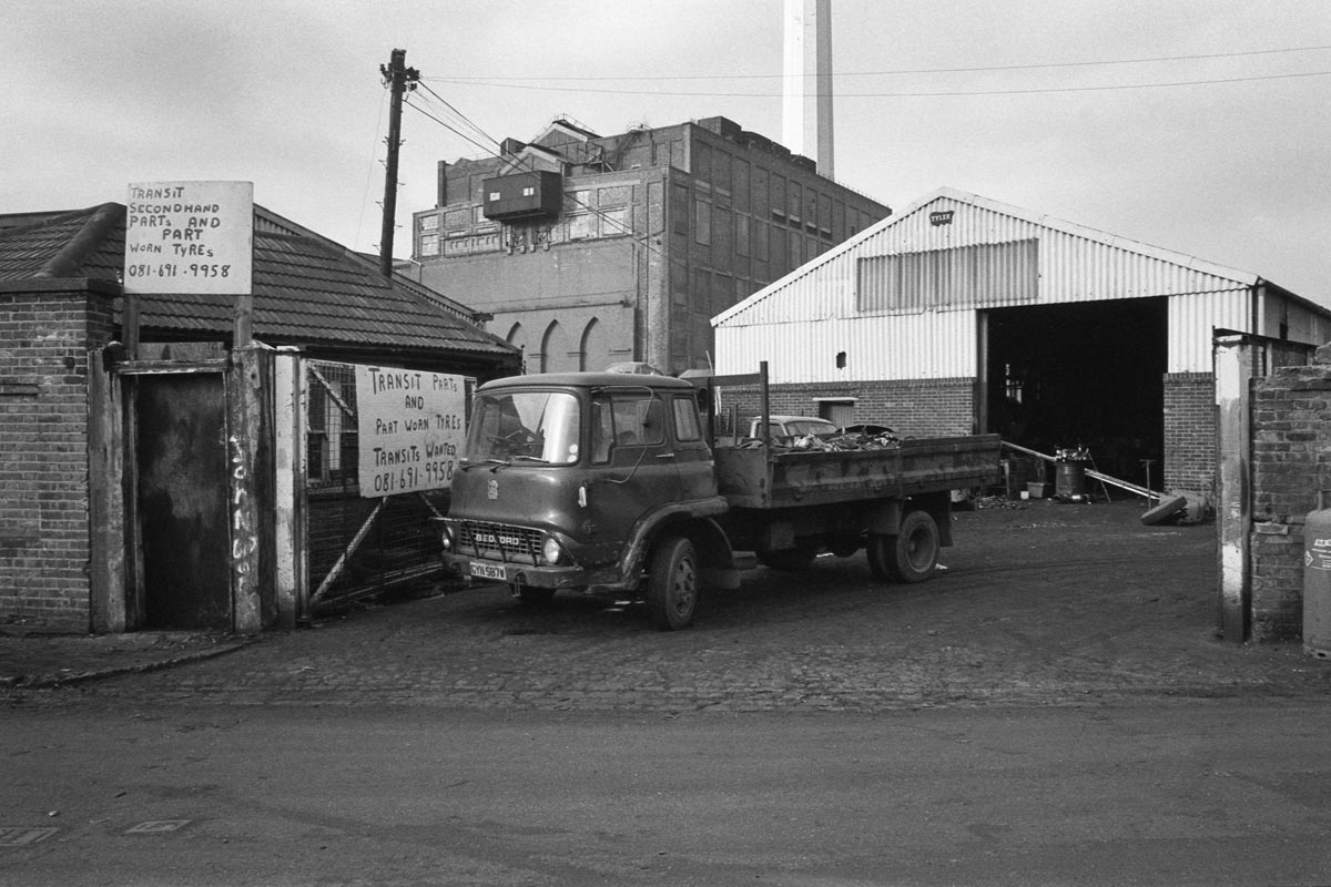
16_Power Station from Stowage
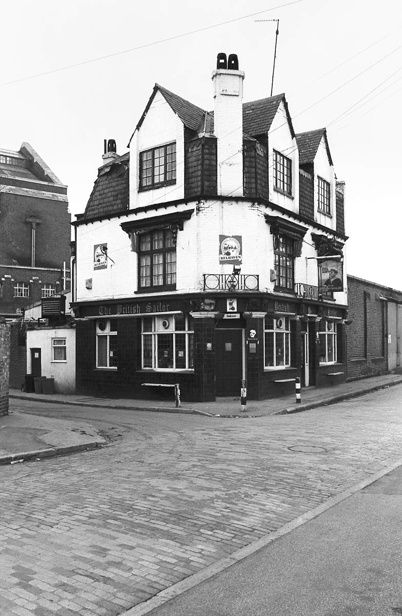
17_Lassell Street
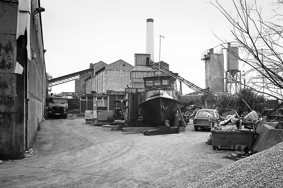
18_Dreadnaught Wharf on Thames Street
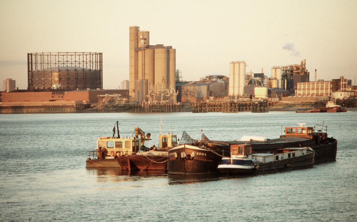
19_Enderby & Morden Wharfs

20_Towards Victoria Deep Water Terminal

21_Up River from Thames Street
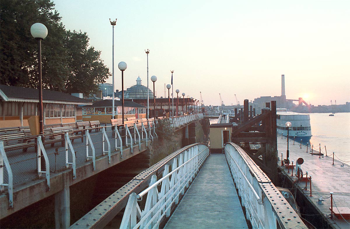
22_Greenwich Pier
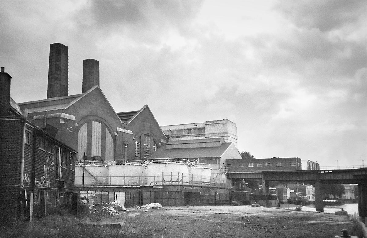
23_Greenwich Power Station

24_Deptford Power Station
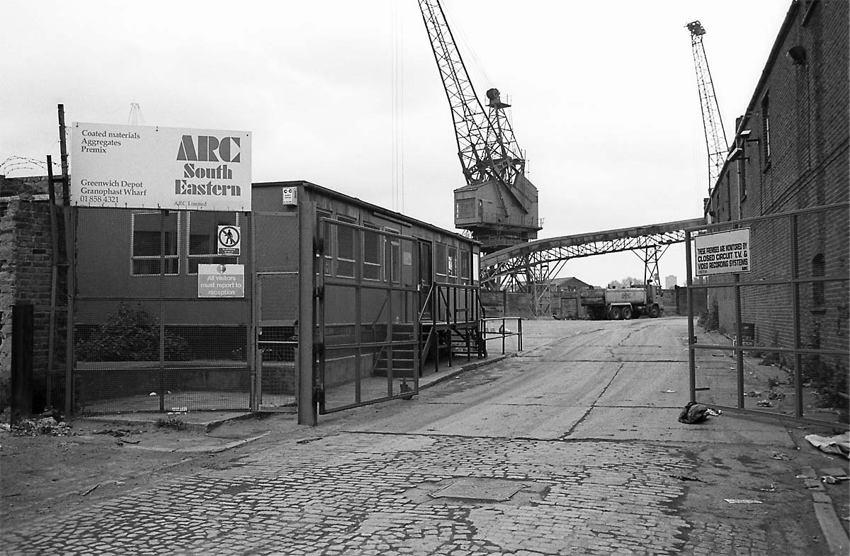
25_Thames Street to Granophast Wharf

26_Barge Repair Yard

27_North across Thames Street
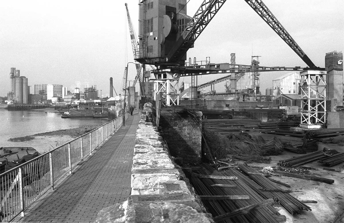
28_Lovells Wharf
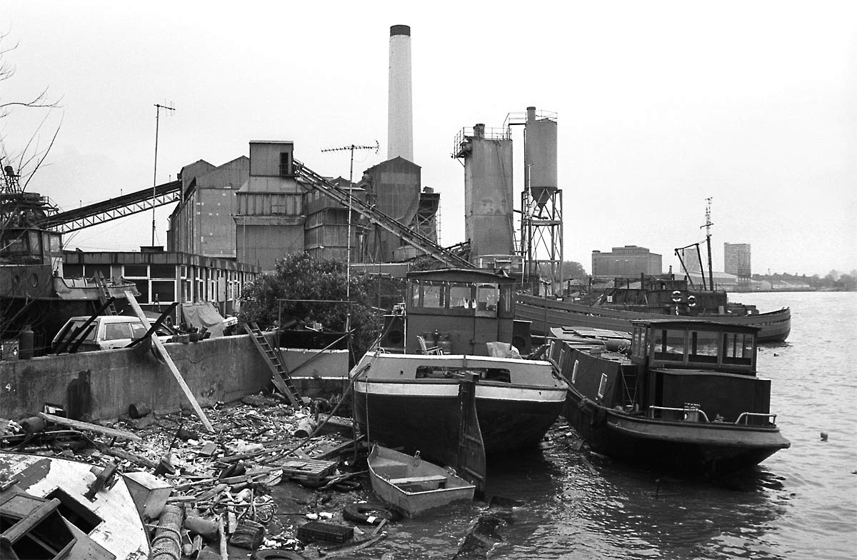
29_Up River to Dreadnaught Wharf
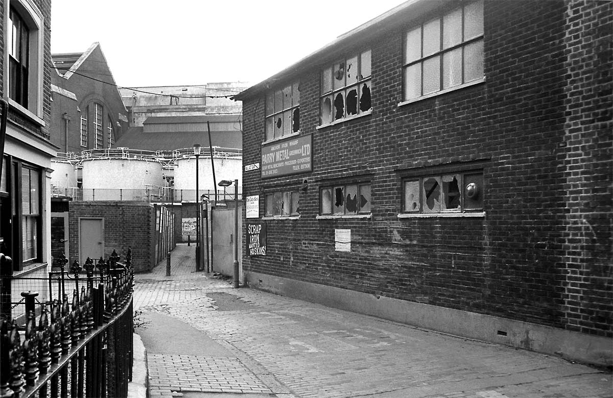
30_Ballast Quay
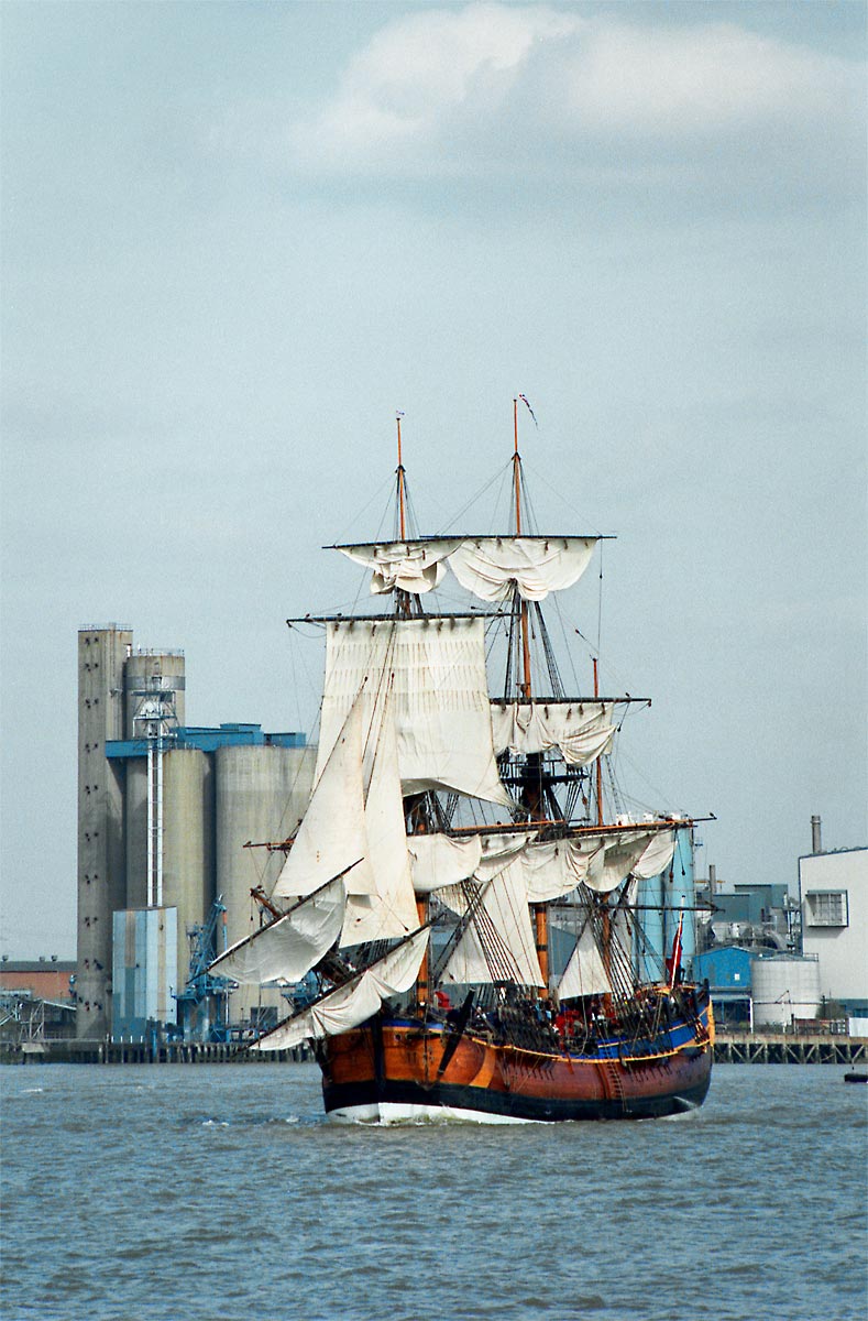
31_Passing Tunnel Refineries
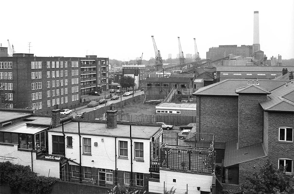
32_West along Thames Street

33_East along Thames Street

34_High Tide on Thames Path

35_Dreadnaught Wharf

36_Granophast Wharf

37_Cutty Sark Gardens

38_Thames Path and Arc Royal
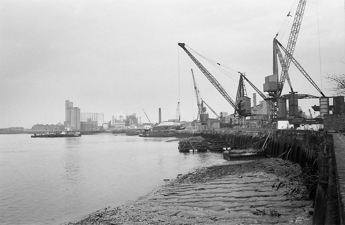
39_Down River inc Lovells Wharf
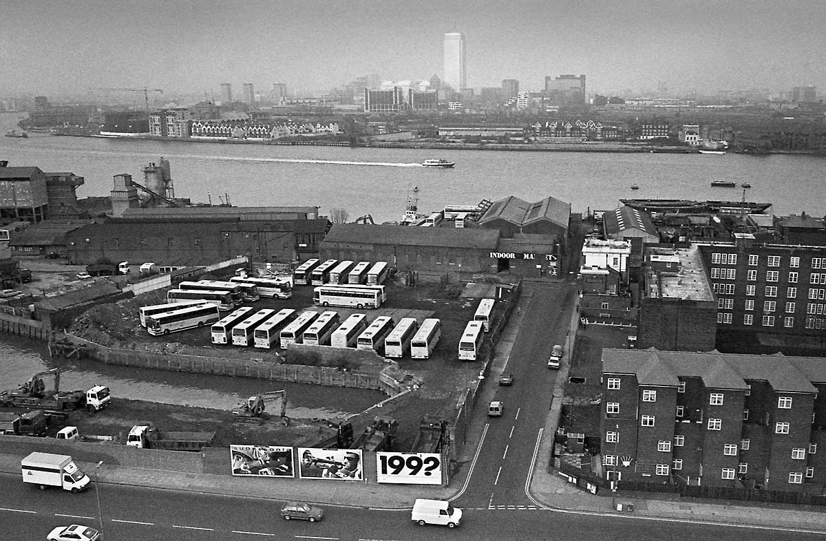
40_Norway Street to Canada Tower

41_North along Thames Path

42_Cutty Sark Gardens

43_Greenwich Peninsula
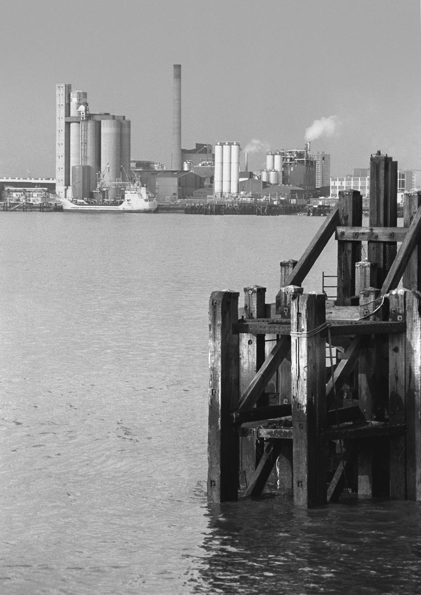
44_Pier & Tunnel Refineries

45_Deptford Creek
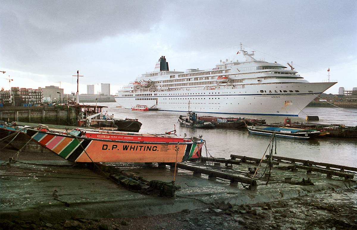
46_Barge Repair Yard
